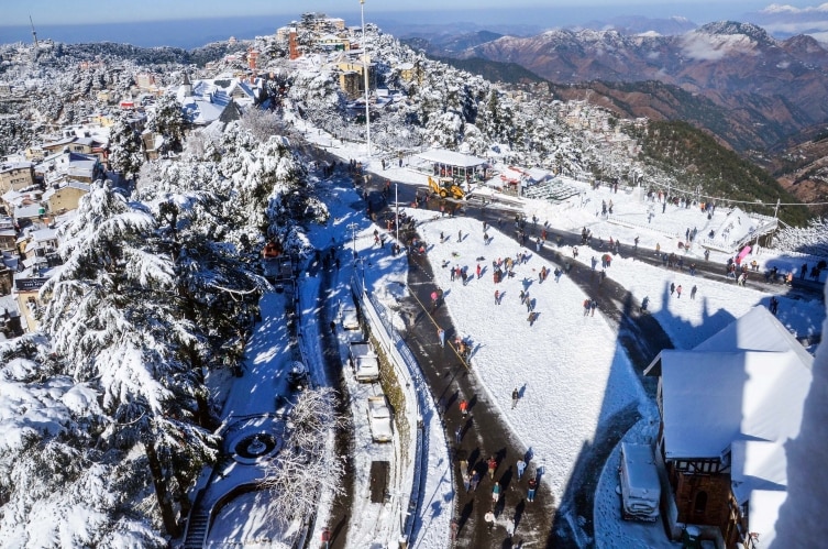
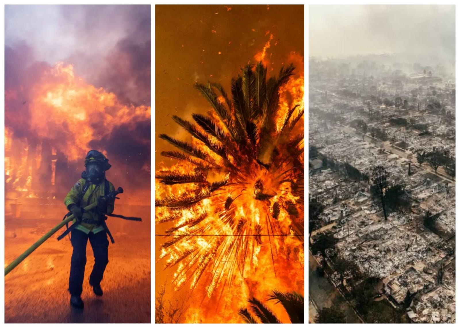
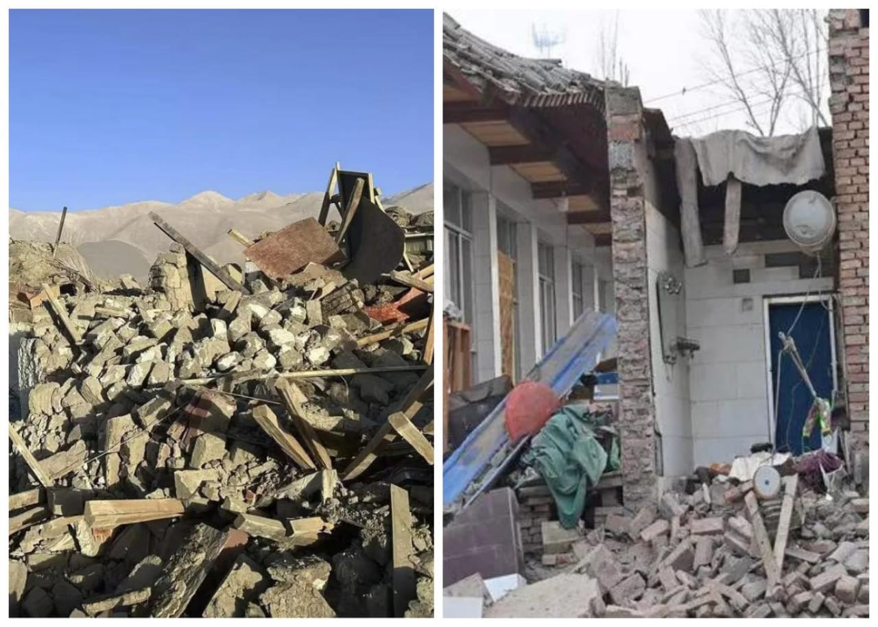
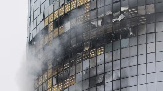
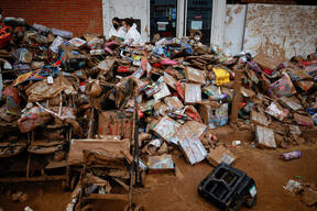
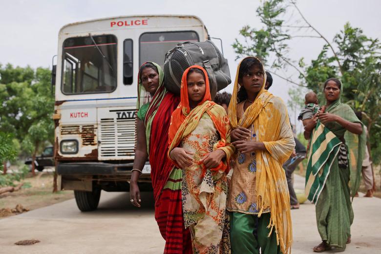
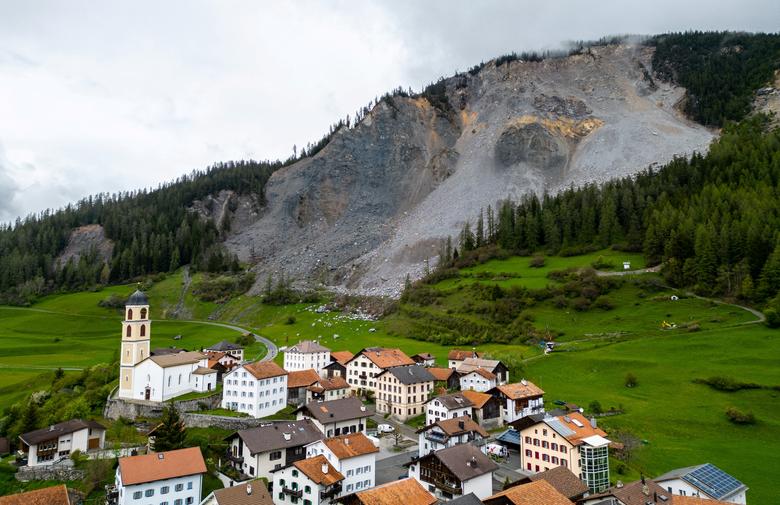
ಬ್ರೇಕಿಂಗ್ ನ್ಯೂಸ್
ಫೋಟೊ ಗ್ಯಾಲರಿ
27-03-23 06:57 pm ಫೋಟೊ
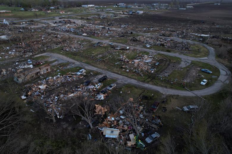
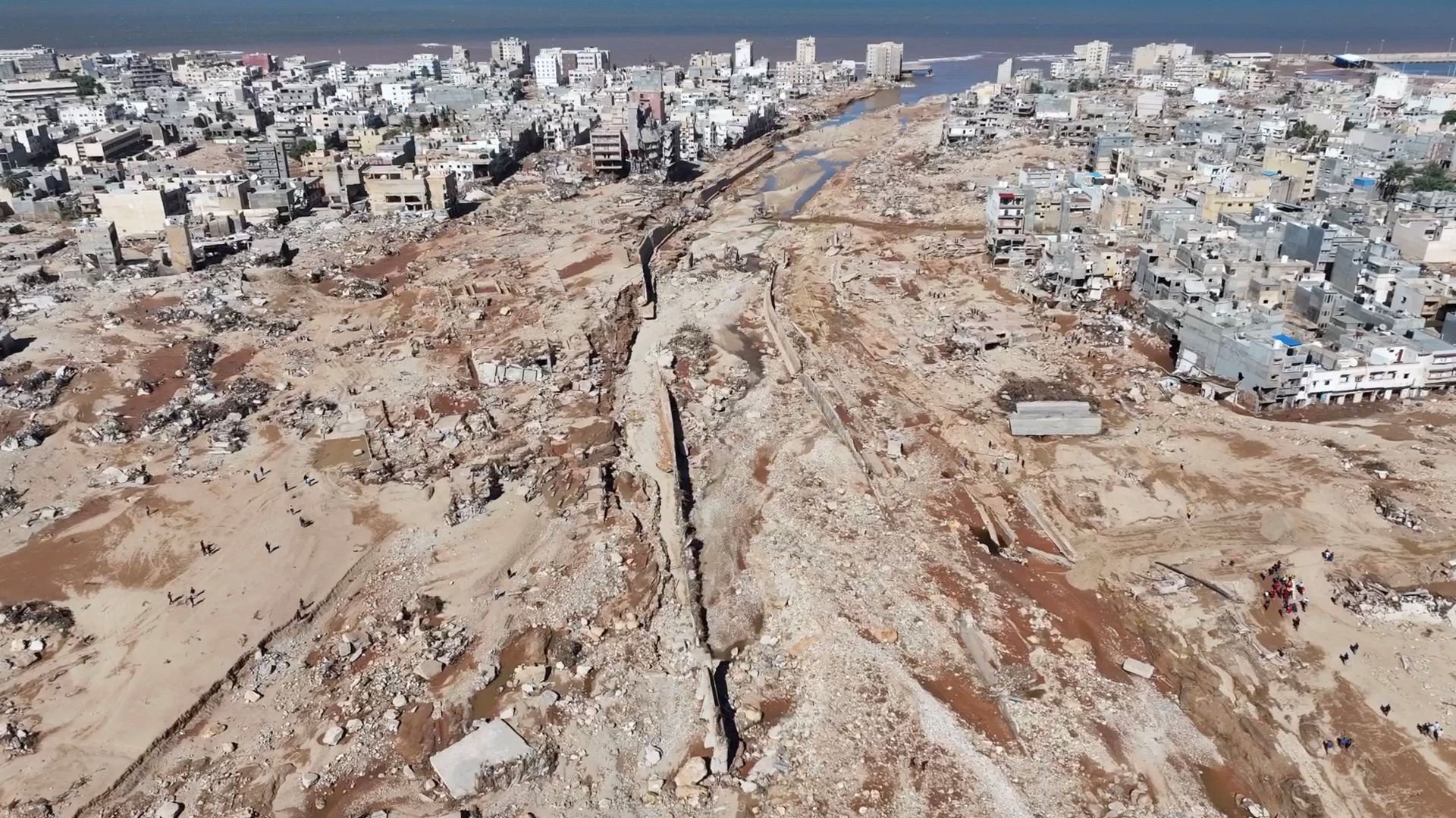
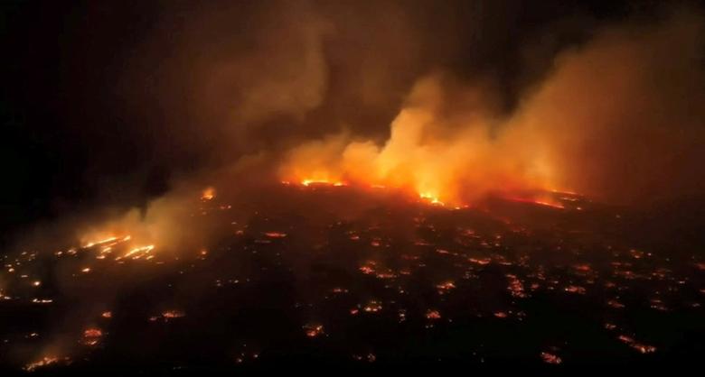
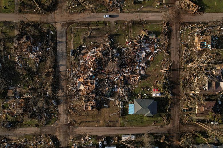
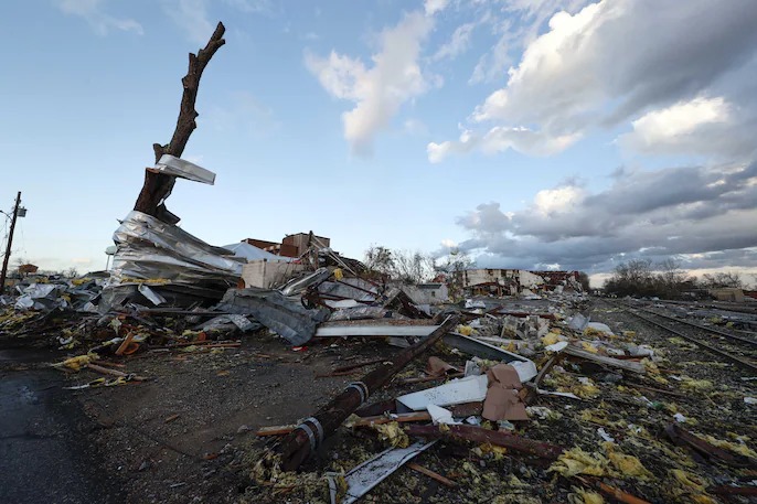
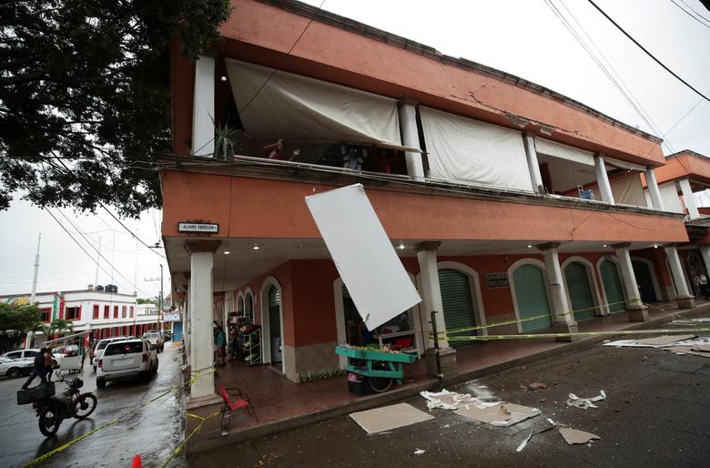
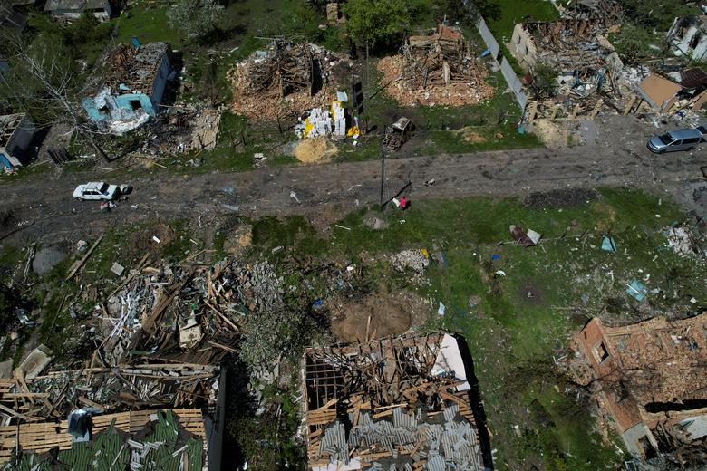
Path of destruction The devastating Mississippi tornado trail seen from above
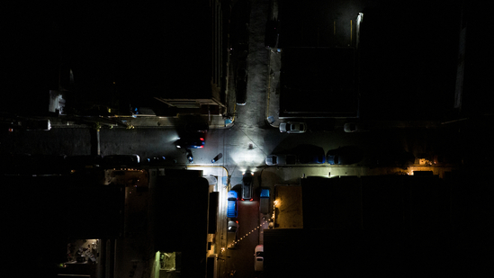
An aerial view of a leveled neighborhood after thunderstorms spawning high straight-line winds and tornadoes ripped across the state, in Rolling Fork, Mississippi, March 26.
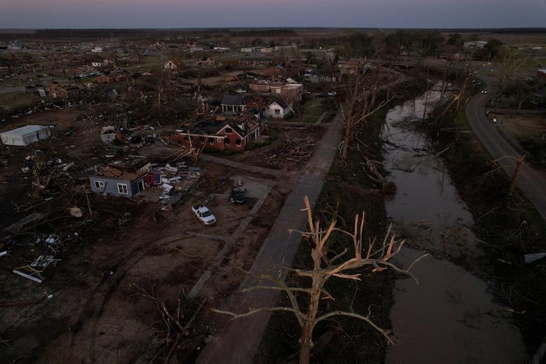
An aerial view of the town of Rolling Fork, a town of around 1,900 in western Mississippi that was hit the hardest, March 25.
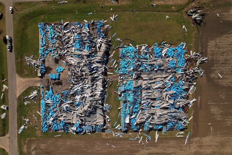
An aerial view of wreckage in the town of Rolling Fork, Mississippi, March 26.
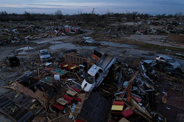
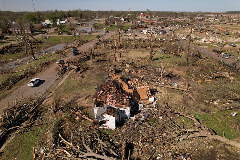
A pickup truck sits on top of the wreckage of Chuck's Dairy Cafe in Rolling Fork, Mississippi, March 26.
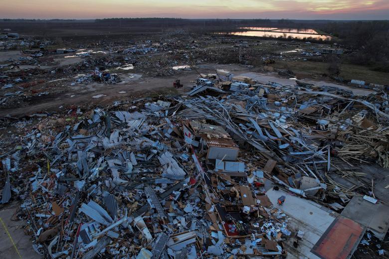
An aerial view of the wreckage in the town of Rolling Fork, Mississippi, March 26.
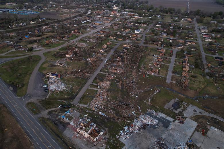
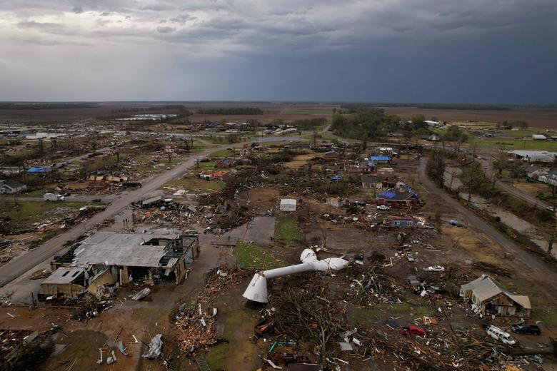
An aerial view of the tornadoes path through the town of Rolling Fork, Mississippi, March 26.
An aerial view of destroyed property in Rolling Fork, Mississippi, March 25.
An aerial view of destroyed homes in Rolling Fork, Mississippi, March 25.
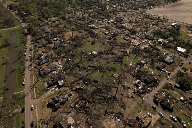
An aerial view of destroyed homes in Rolling Fork, Mississippi, March 25.


20-09-25 08:08 pm ಫೋಟೊ
See Indias largest cruise terminal with state-of-the-art facilities in Mumbai


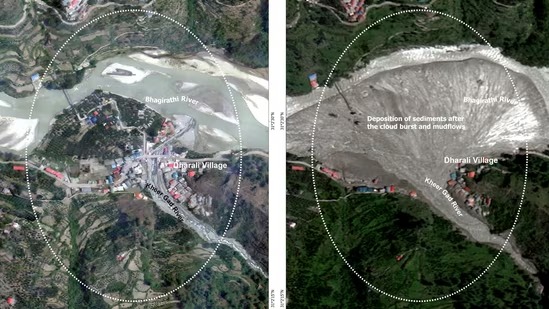
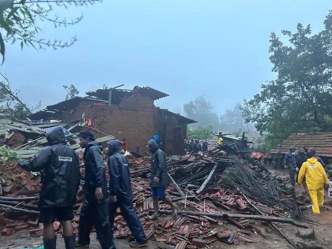
16-09-25 07:23 pm ಫೋಟೊ
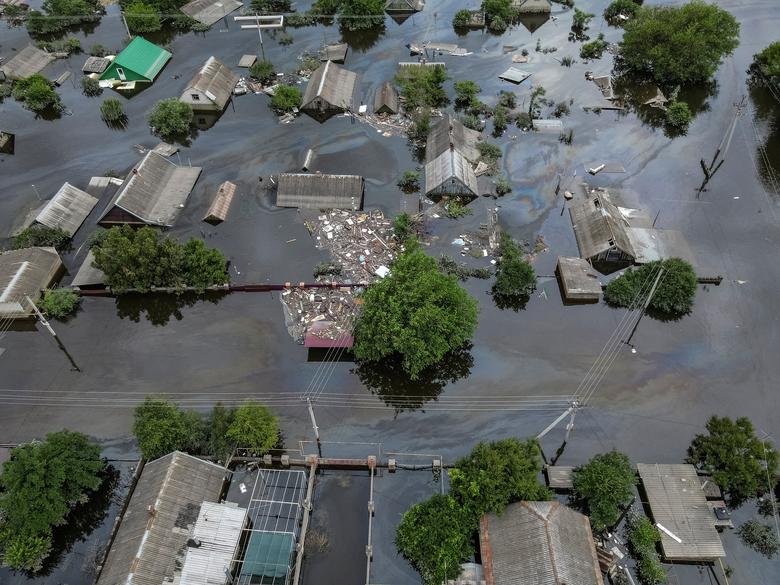
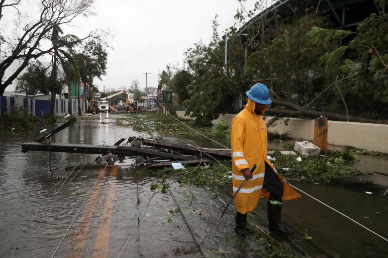
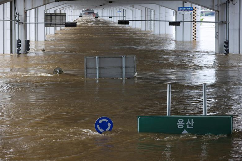
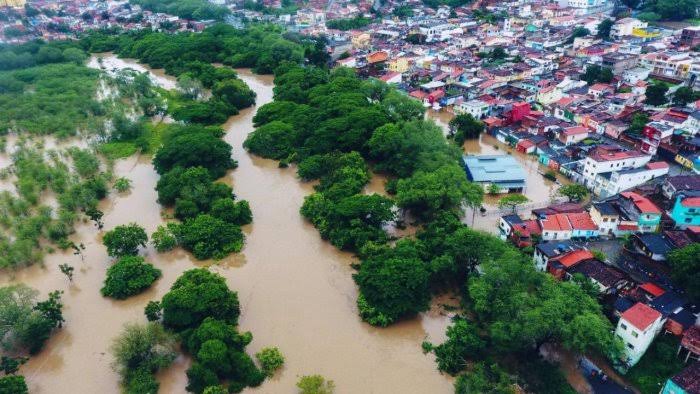
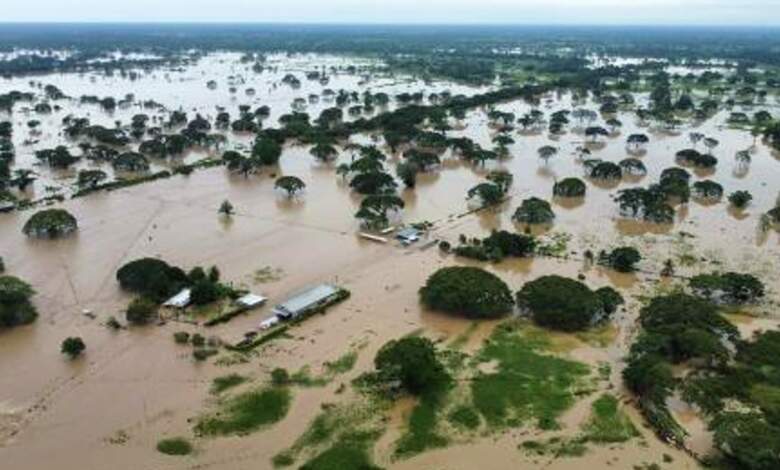
Roads flooded, bridges washed away after cloudburst in Uttarakhand's Dehradun


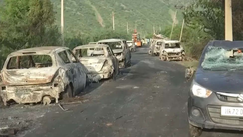
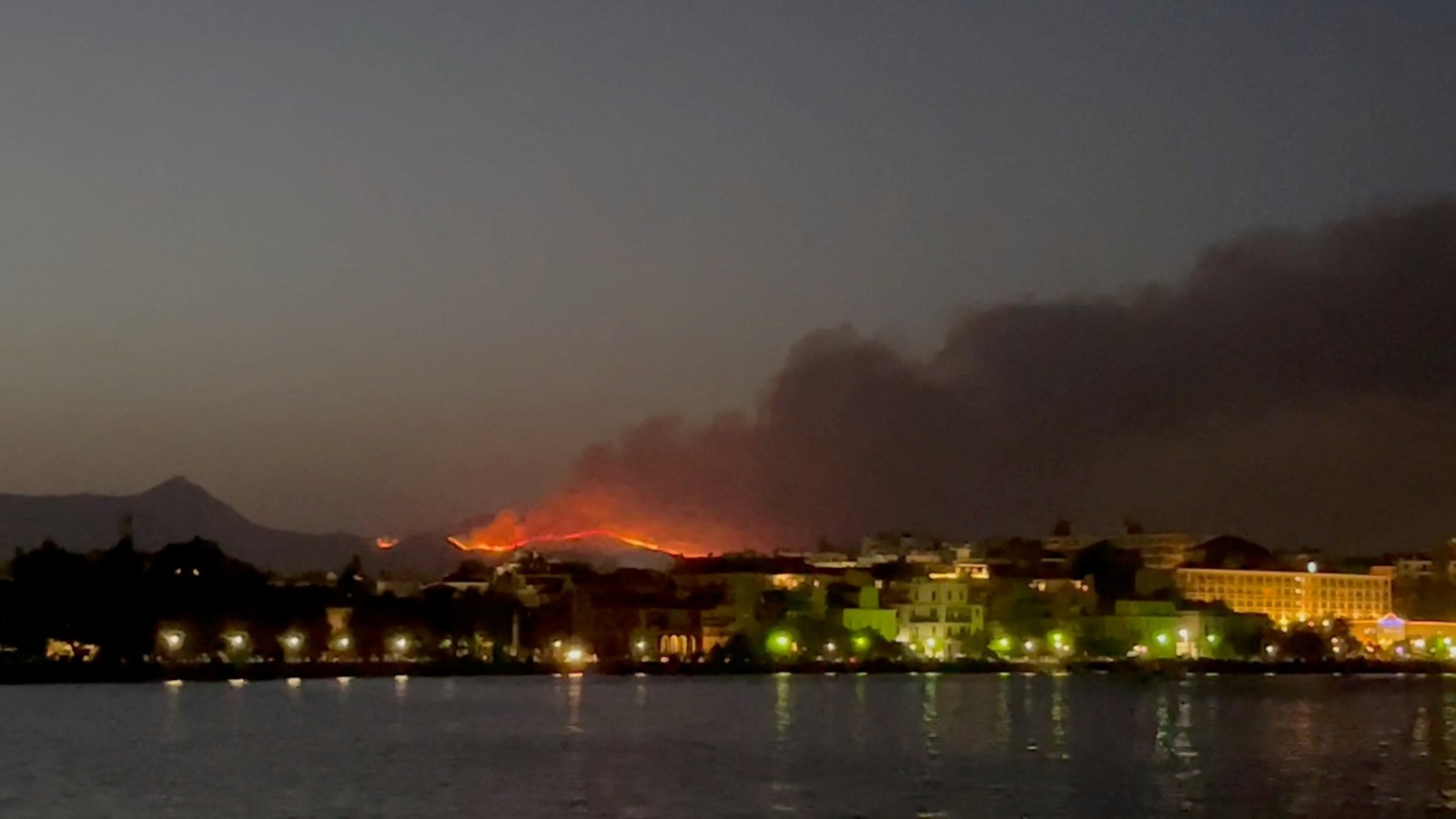
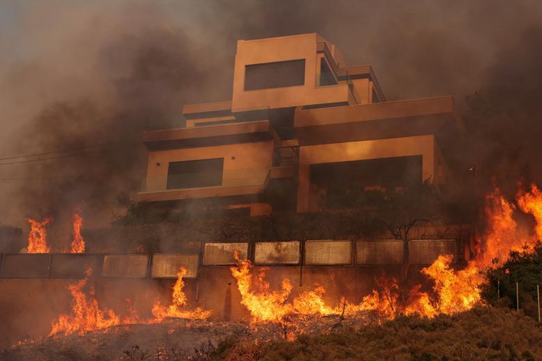
17-06-25 06:11 pm ಫೋಟೊ
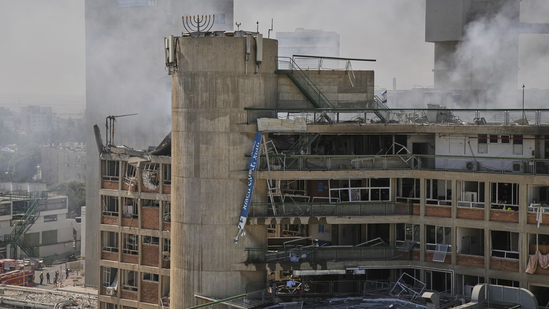
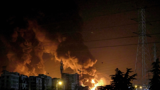
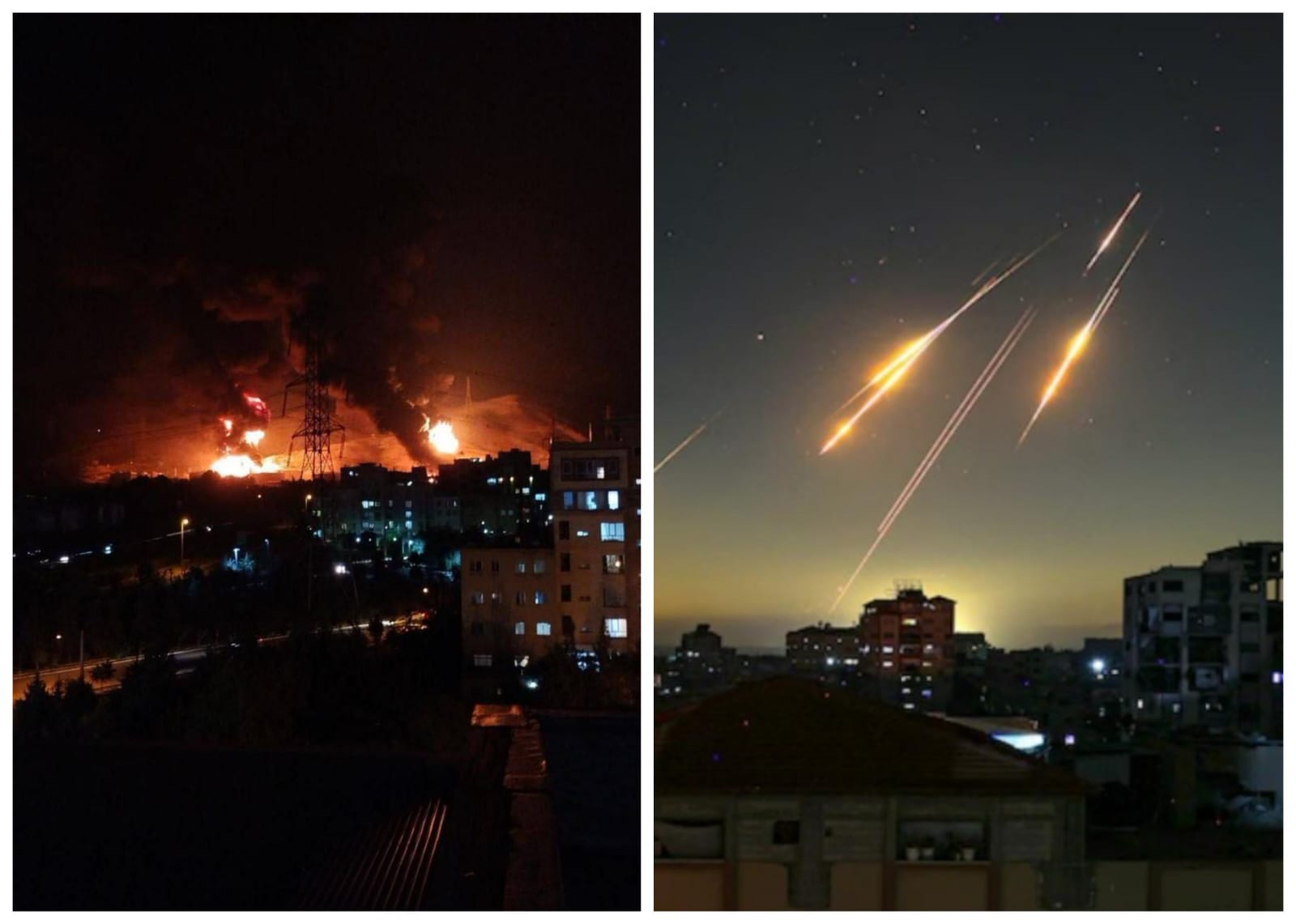
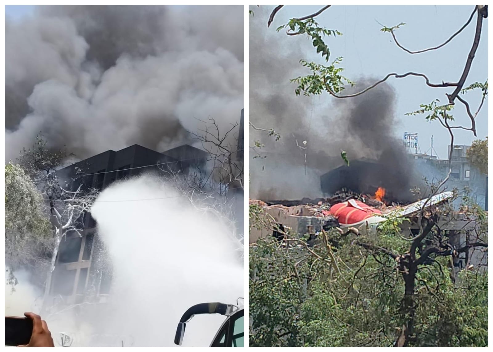
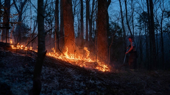
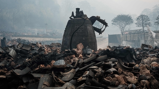
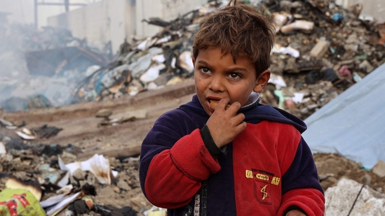
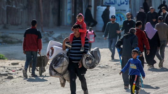
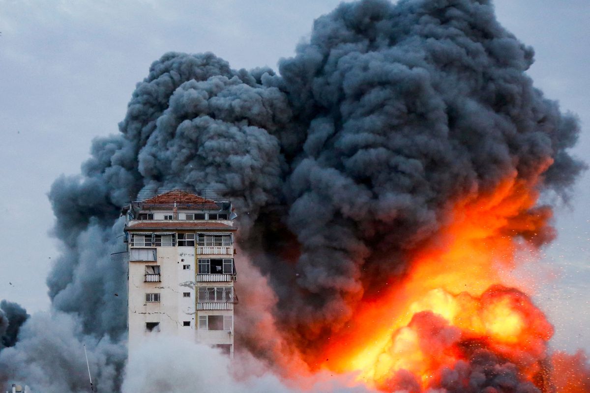
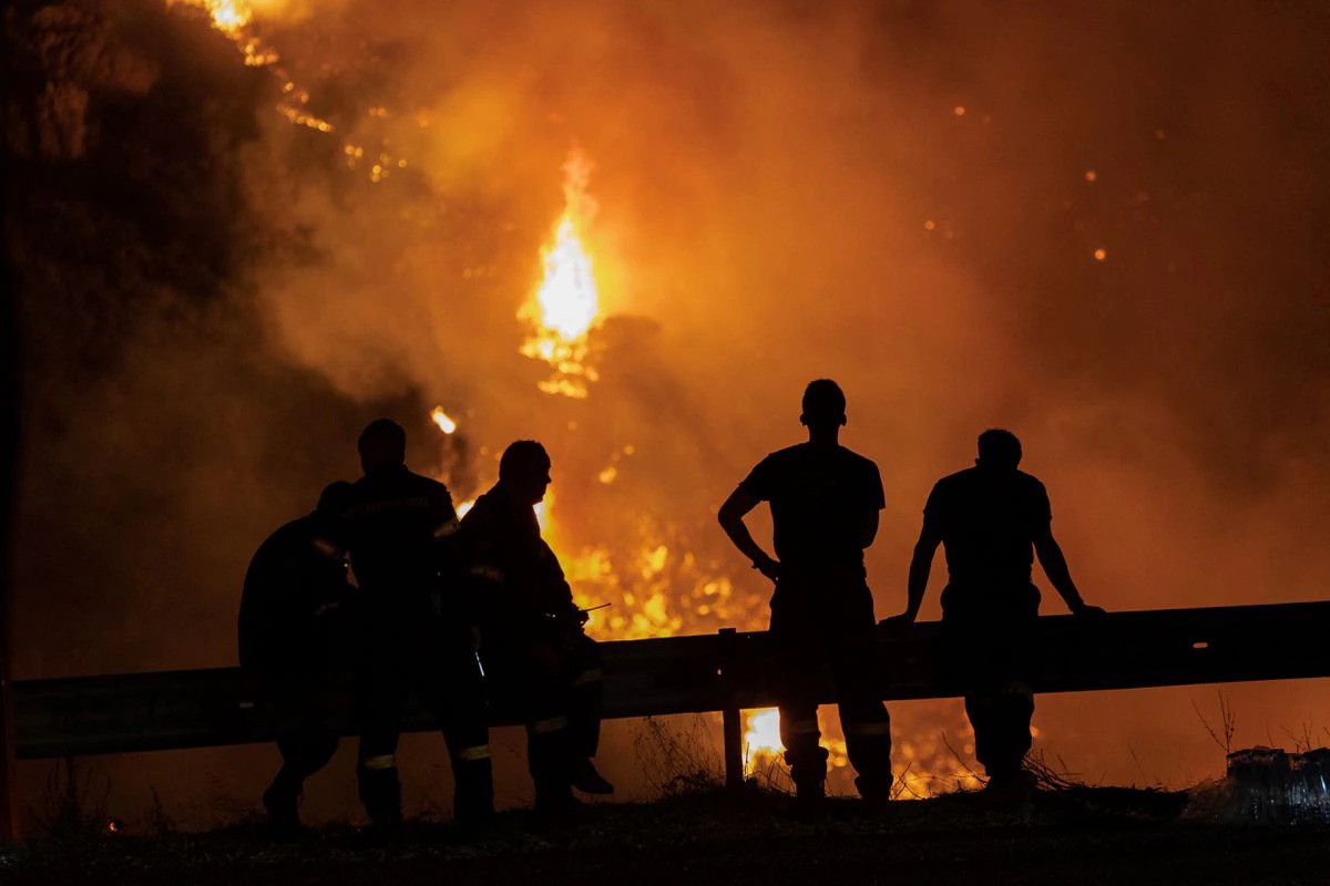
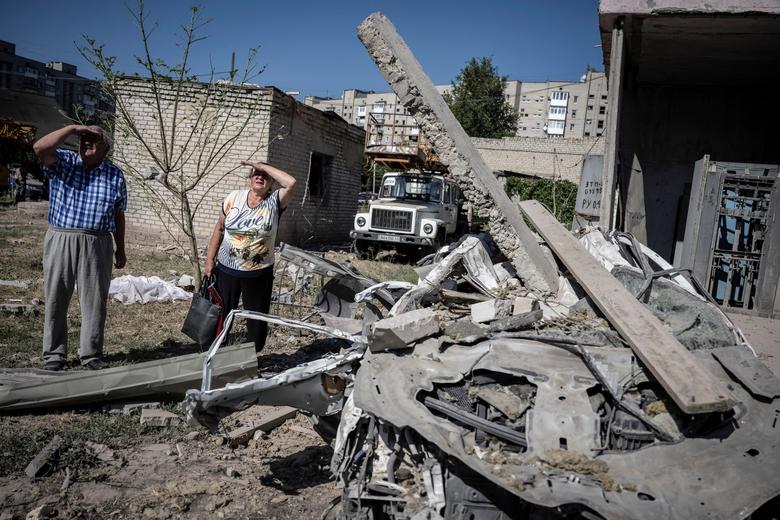
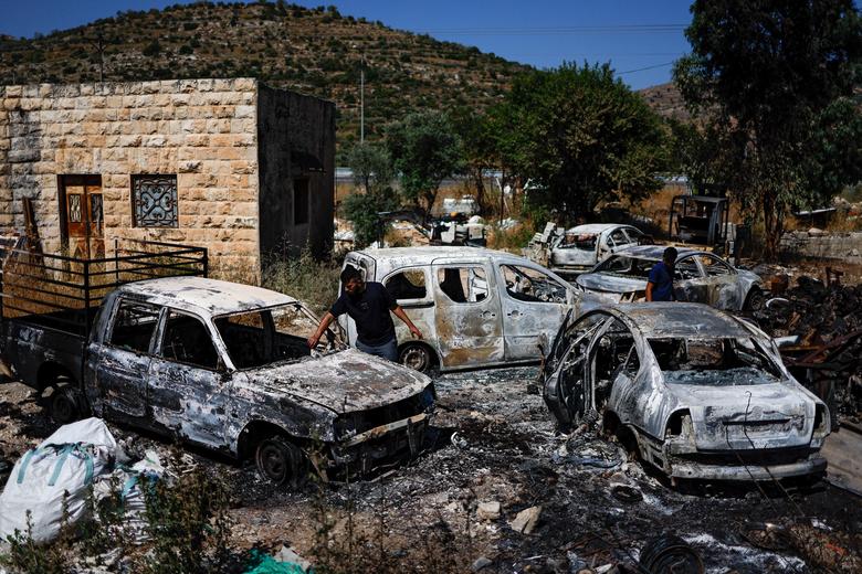
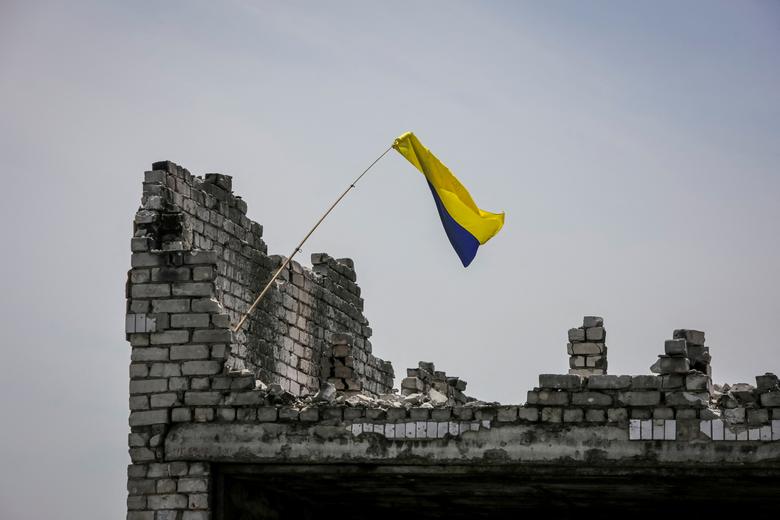
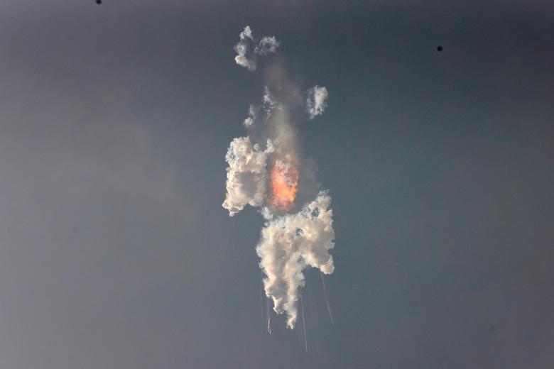
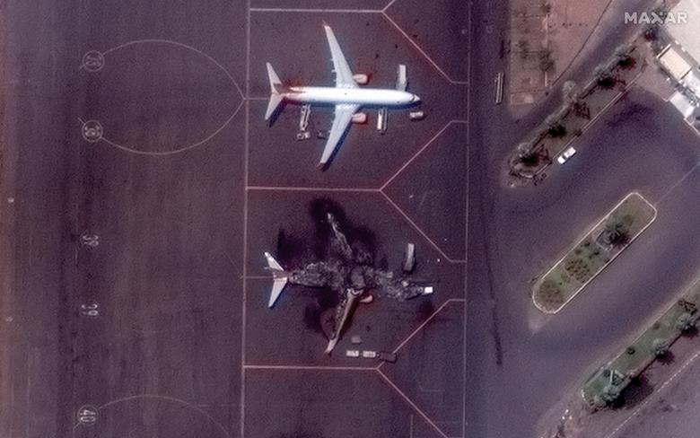
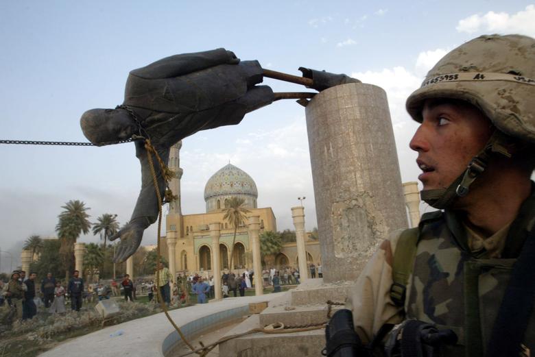
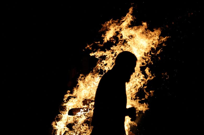
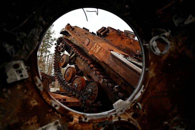
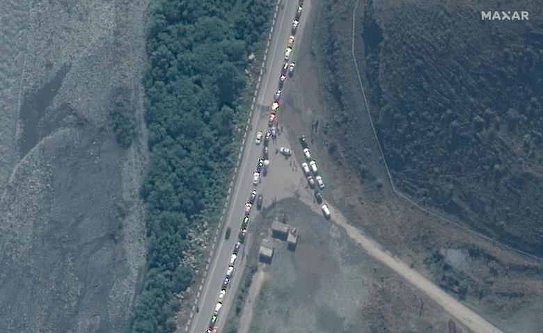
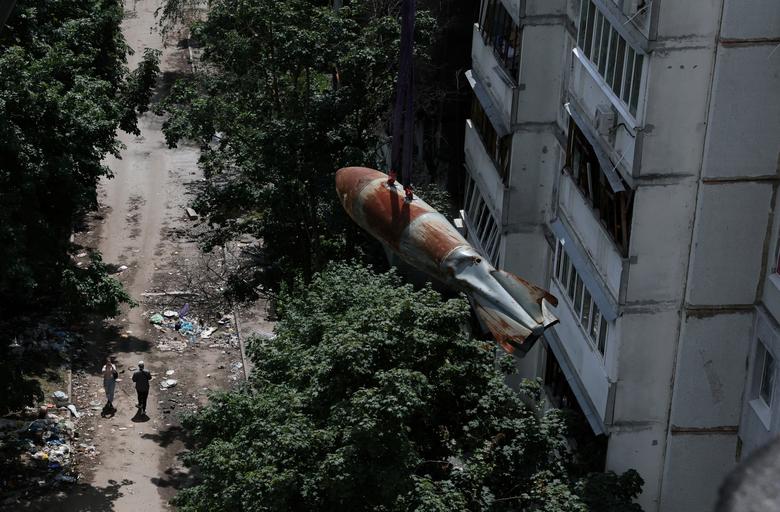
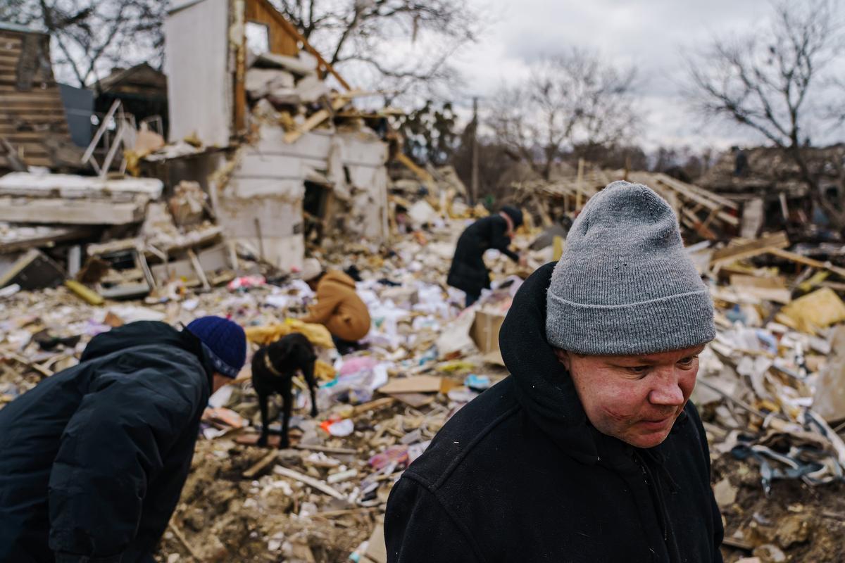
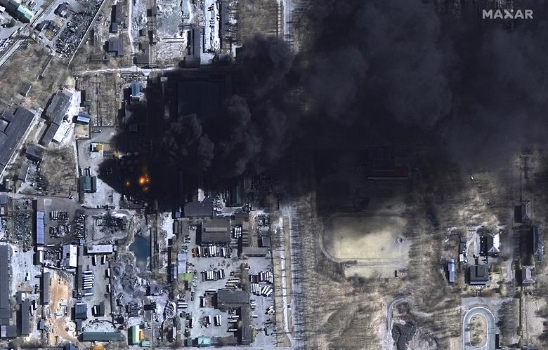
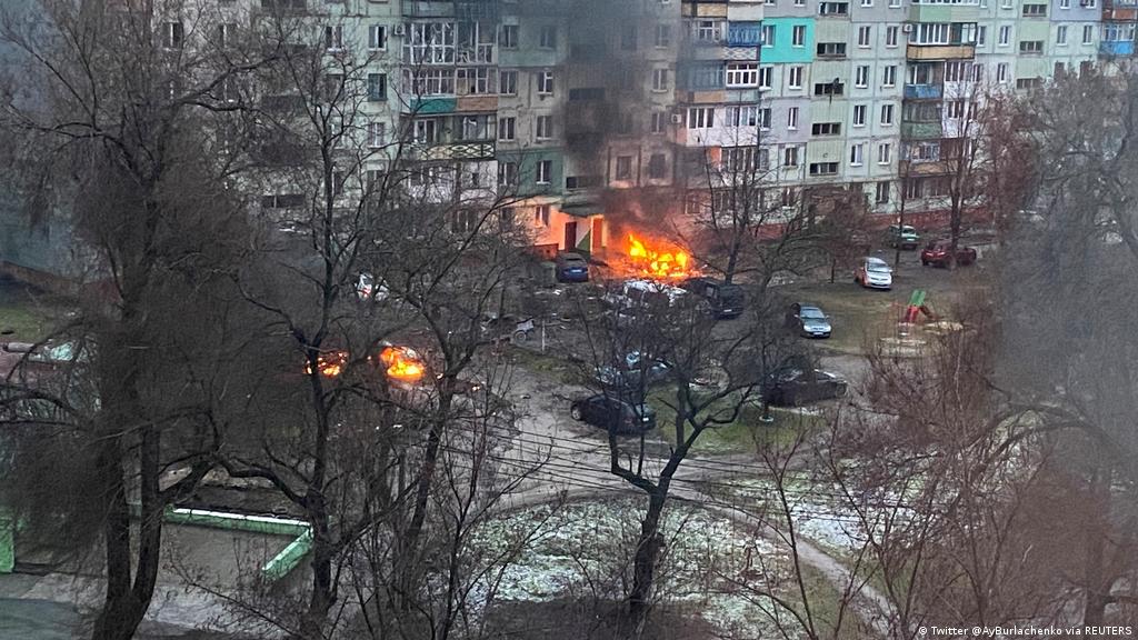
Missiles, mourning and ruin: 40 shocking photos from the Israel-Iran conflict


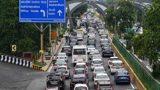
10-02-25 07:32 pm ಫೋಟೊ
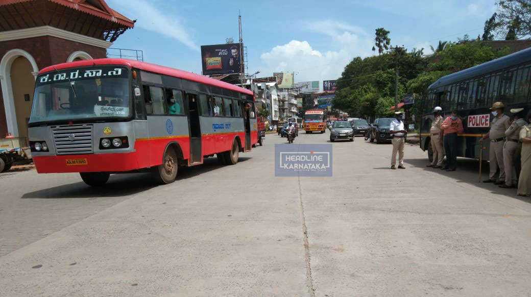
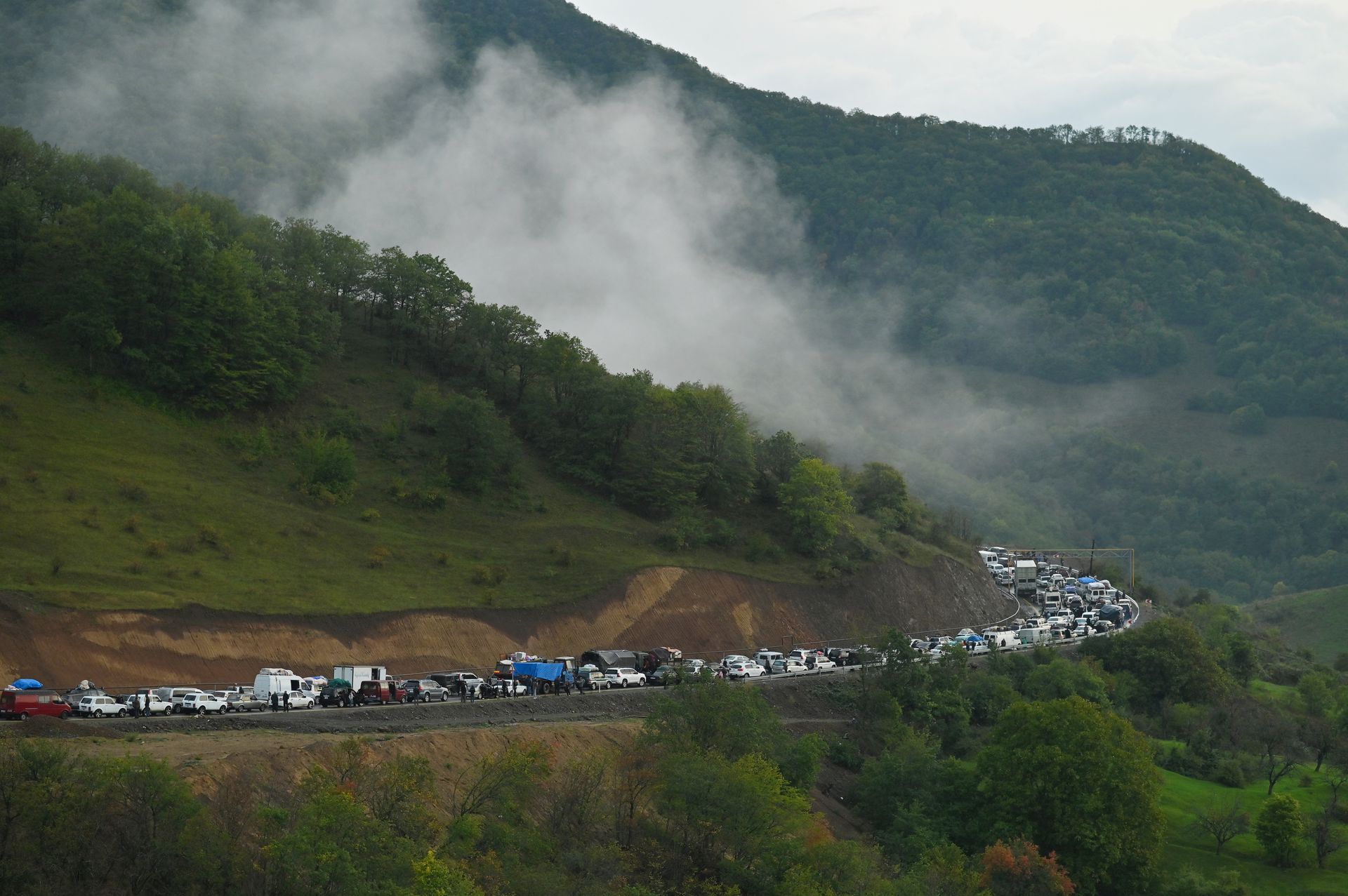
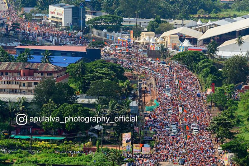
Maha Kumbh: Long queues of vehicles seen as traffic snarls hit religious fair


03-07-23 06:57 pm ಫೋಟೊ
People posing for photos at a sunflower field in a park in Beijing, on July 2


31-08-22 06:30 pm ಫೋಟೊ
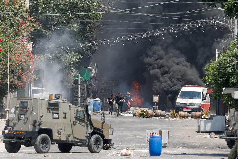
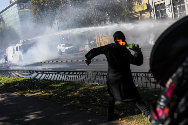
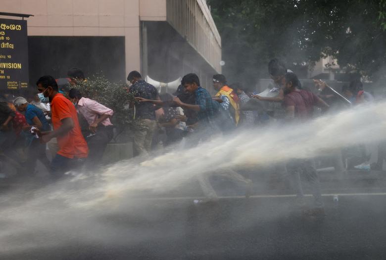
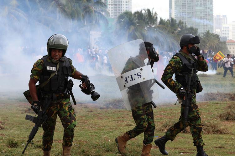
Anti-government protesters clash with police amid Sri Lanka's economic crisis


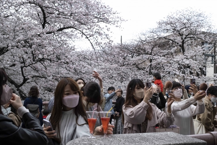
28-03-22 07:42 pm ಫೋಟೊ
Straight out of fairy tale! Cherry blossoms bloom along Meguro river in Tokyo


01-03-22 07:23 pm ಫೋಟೊ